Love a Shortcut? do Australia’s Longest, The Outback Way
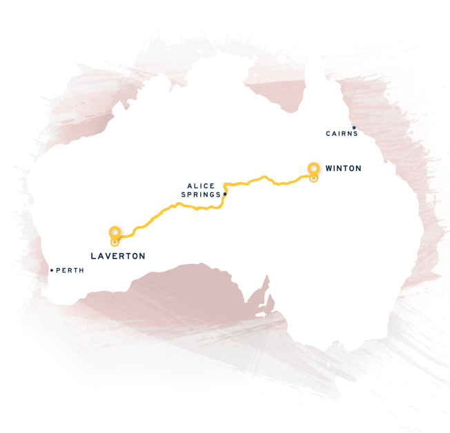
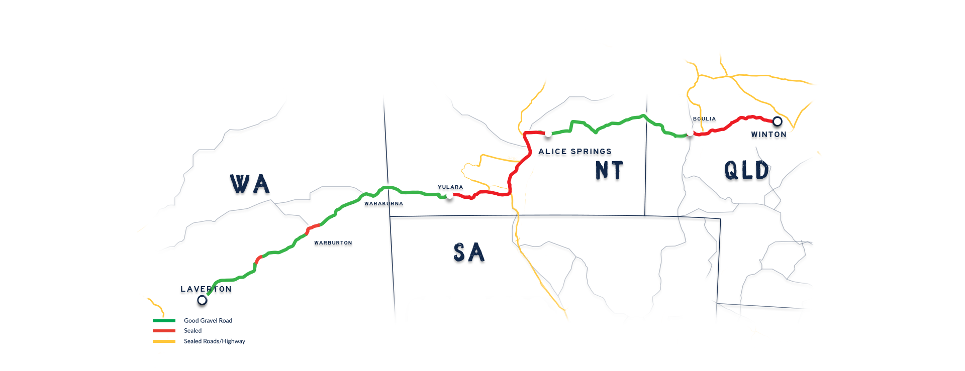
From Laverton, Western Australia to Winton, Queensland, via the Northern Territory’s Red Centre, The Outback Way, carves a well-worn 2700km track through the heart of Australia. The Outback Way is Australia’s Route 66, the great Australian Road Trip… unearth the magic and immerse yourself in a journey like never before. It’s a road trip that lets you sink into the peaceful colours of the Australian Outback, where your odometer collects memories with every kilometer. Whether you are zig-zagging the nation or you want a shorter invigorating getaway to awaken your senses -you’ll marvel at nature’s diversity, feel the cool waters in shimmering gorges wash over you, be inspired by the unique architecture of every mountain range, and hear the desert oaks whisper in their majestic forests. Immerse yourself in Indigenous culture, pioneering heritage, follow the Art Trail, get into the country spirit of an outback festival, and enjoy the outback hospitality at every town you pull into.
advertise now

This space is now available for your business.
Download our media kit now for more information. .
dowload now
advertise now
This space is now available for your business.
Download our media kit now for more information. .
dowload now
Head to our Outback Store to puRchase OUR Travel Journal
Order the essential Outback Way Travel Journal with planning pages and journaling pages so you can keep the Travel Journal as a momento. The 10 sections reflect our APP and provide maps and local points of interest that are a must see as you journey through the heart of Australia. Plus find geocache starter kits, buy carbon offset and custom made tyre covers .